Experience, passion, & dedication.
Providing experts and technology to enable safe and reliable energy transportation.
Learn More
About Us
Since 1994, New Century Software by MISTRAS has delivered pipeline integrity management software and services to energy transportation companies.
Request a Quote or Demo
Let’s get the conversation started. Request more information, today.
Request Info
What We Do
With an ideal blend of innovative software solutions and extensive pipeline expertise, New Century Software is uniquely qualified to serve the oil and gas pipeline industry. Our flexible software solutions, data expertise and extensive pipeline experience empower organizations to manage pipeline integrity and navigate regulatory compliance to ensure safety and reliability.
Our People
We have successfully provided professional services and software solutions to support the oil and gas industry for over 25 years. When you work with us, you work with a dedicated group of resourceful, determined, and supportive individuals who will take your product vision and make it a reality.
Let us help you with
Integrity ManagementData ManagementMapping & ReportingRisk ModelingCompliance
Enabling safe & reliable energy transportation for over 25 years


Our Customers
How we help our customers
Our GIS-enabled applications allow you to graphically view and manage integrated pipeline information, and our professional services team of technical experts simplify data and integrity management by streamlining processes and ensuring pipeline safety and compliance.
News & Events
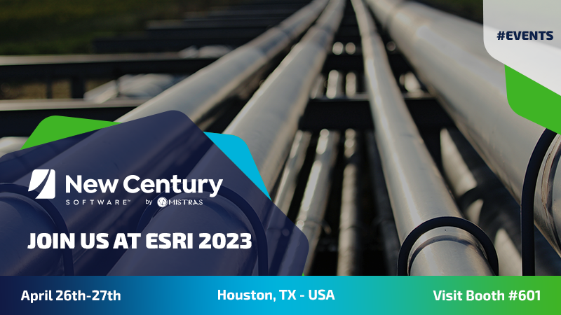
New Century Software Exhibiting at 2023 Esri Energy Resources GIS Conference
New Century Software exhibited at the Esri Energy Resources GIS Conference in Houston, TX – USA from April 26 – 27, where our team of experts was on hand to discuss our innovative pipeline integrity management software and services for energy transportation companies.
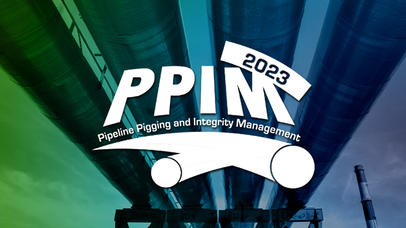
New Century Software by MISTRAS at PPIM 2023
New Century Software by MISTRAS will be attending the Pipeline Pigging and Integrity Management (PPIM) Conference & Exhibition February 7th – 10th in Houston, TX – USA. Visit us at Booth #301 for live demos of our pipeline data management software or to chat with our team.
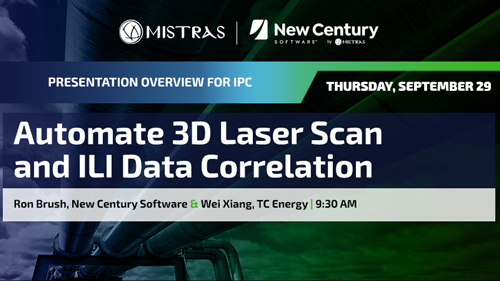
New Century to Present at 2022 International Pipeline Conference
New Century Software co-presented a joint paper, “Automate 3D Laser Scan and ILI Data Correlation,” with TC Energy at the International Pipeline Conference in Calgary, Alberta – Canada.
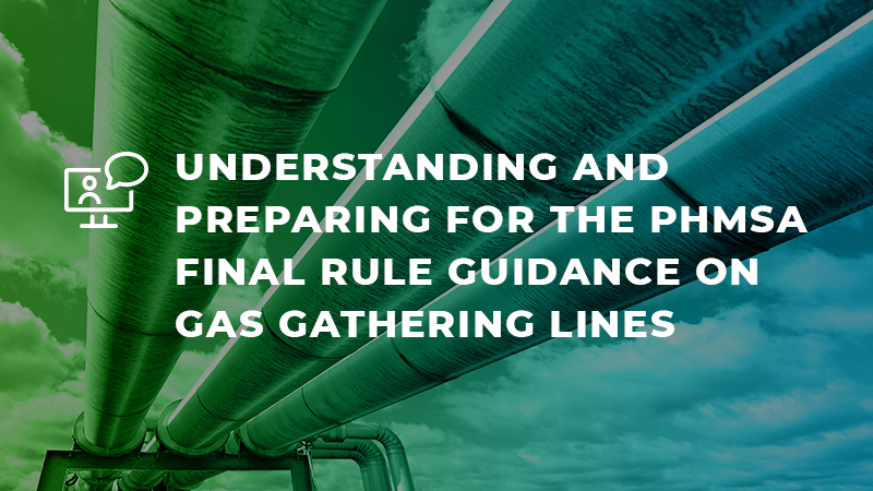
Webinar: PHMSA Final Rule Guidance on Gas Gathering Lines
This web event outlined how to ensure compliance with the PHMSA final rule on gas gathering lines, what is known and unknown about the rule and what can be done to prepare for it.